
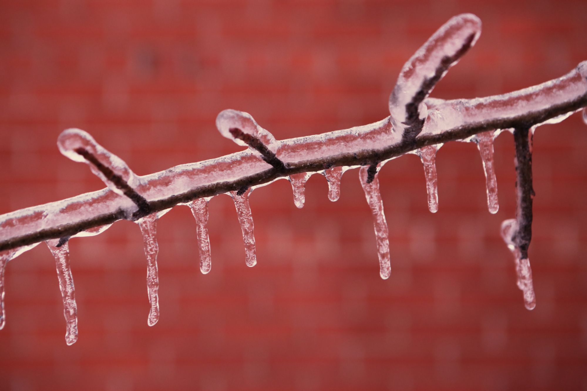
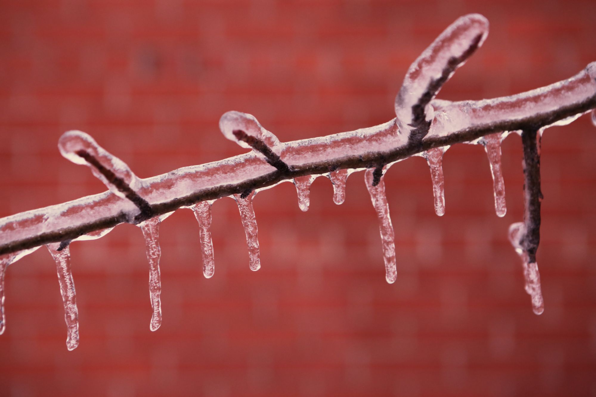
A freezing rain warning is in effect across Chatham-Kent.
Environment Canada officials say ice build-up due to freezing rain is expected or occurring and freezing rain and strong easterly winds are expected.
A Texas Low is expected to make its way towards the Great Lakes today. A warm front associated with this low will produce a band of freezing rain which is expected to impact Windsor near noon, London and Sarnia by 4 pm and continue to move northeastwards this evening.
Ice accumulation amounts could range from 5 to 10 mm.
This could well be a significant freezing rain event as strong easterly winds of 40 gusting to 70 km/h will likely result in widespread power outages across several areas beginning this evening.
Surfaces such as highways, roads, walkways and parking lots will become icy, slippery and hazardous. Beware of branches or electrical wires that could break under the weight of ice.
Freezing rain warnings are issued when rain falling in sub-zero temperatures creates ice build-up and icy surfaces.
Please continue to monitor alerts and forecasts issued by Environment Canada. To report severe weather, send an email to storm.ontario@ec.gc.ca or tweet reports to #ONStorm.