
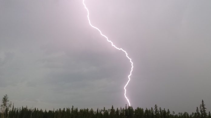
Update: The severe thunderstorm warning has ended in Chatham-Kent. However, a thunderstorm watch remains in place, along with the heat warning.
Details, here.
Environment Canada issued a severe thunderstorm warning at 4:00 p.m. EDT Monday as meteorologists tracked a storm capable of producing damaging wind gusts and heavy rain.
The thunderstorm was located about 15 kilometres north of Belle River and was moving east at 60 kilometres per hour. Wind gusts could reach up to 90 kilometres per hour, and heavy rainfall may lead to flash flooding and significantly reduced visibility.
Communities in the path of the storm include Chatham, Wallaceburg, Walpole Island, Mitchell’s Bay, Grande Pointe, Pain Court, Dresden and Arkwood.
Residents are urged to take shelter immediately if threatening weather approaches. Environment Canada advises that if you see a funnel cloud, hear roaring wind, or observe flying debris, you should seek shelter without delay. “When thunder roars, go indoors,” officials said, noting that lightning kills and injures Canadians every year.
Emergency Management Ontario is also encouraging residents to take cover at the first sign of threatening conditions.
Severe thunderstorm warnings are issued when imminent or ongoing thunderstorms are expected to produce damaging hail, wind or rainfall.
Environment Canada advises residents to monitor forecasts and alerts closely. Severe weather reports can be submitted by email to ONstorm@ec.gc.ca or shared on X using the hashtag #ONStorm. Further information on emergency preparedness is available at ontario.ca/page/be-prepared-emergency.
This story will be updated.