
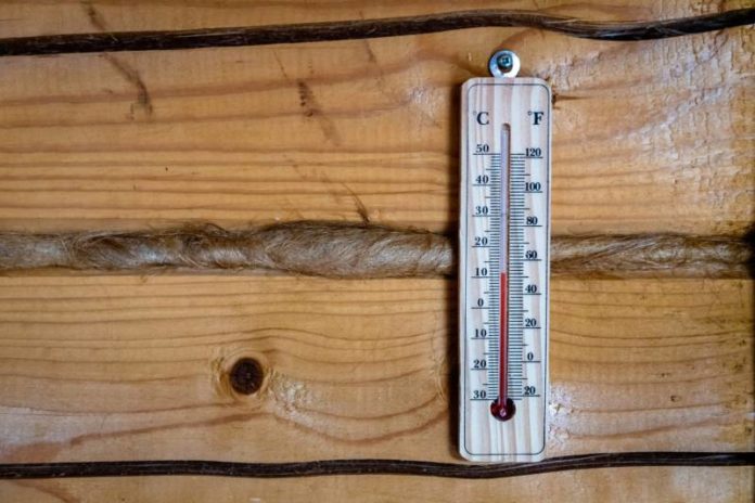

Heat warning
Chatham-Kent’s under a yellow heat warning as of 4:29 AM EDT Wed, July 15 — temps hitting 30-36°C with lows only dropping to 20-25°C, humidex 38-42. Sticking around through tonight, maybe into Thu/Fri near the lakes. Air quality could take a hit too. Check on elderly/vulnerable folks, watch for heat exhaustion signs (headache, nausea, dizziness), and treat heat stroke as a 911 emergency. Standard heat-safety stuff applies: hydrate before you’re thirsty, stay cool/shaded, use AC or cooling centres, never leave kids/pets in parked cars. Keep an eye on EC updates.
Today – July 15, 2026
Sunny early this morning then a mix of sun and cloud with 40 percent chance of showers late this afternoon. Risk of a thunderstorm late this afternoon. Local smoke this afternoon. Wind becoming northwest 20 km/h near noon. High 35. Humidex 44. UV index 10 or very high.
Tonight
Partly cloudy with 40 percent chance of showers this evening. Becoming clear overnight. Risk of a thunderstorm this evening. Local smoke. Wind northwest 20 km/h becoming light this evening. Low 21.
Thu, 16 Jul – Sunny. Local smoke. High 32. Humidex 35. UV index 10 or very high. Night – Clear. Low 21.
Fri, 17 Jul – A mix of sun and cloud with 30 percent chance of showers. High 31. Night – Cloudy with 40 percent chance of showers. Low 21.
Sat, 18 Jul – Cloudy with 30 percent chance of showers. High 30. Night – Cloudy periods with 30 percent chance of showers. Low 18.
Sun, 19 Jul – A mix of sun and cloud. High 28. Night – Cloudy periods. Low 18.
Mon, 20 Jul – A mix of sun and cloud with 30 percent chance of showers. High 28. Night – Cloudy periods with 30 percent chance of showers. Low 18.
Tue, 21 Jul – Cloudy with 30 percent chance of showers. High 22.