
Update #4: The tornado watch has ended.
Update #3: The severe thunderstorm warning has ended in Chatham-Kent. The tornado watch remains in place.
Update #2: Environment Canada says a line of dangerous thunderstorms is moving quickly east through the region.
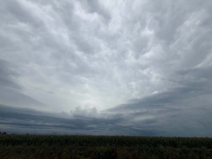
As of 4:58 p.m. Thursday, the storms extended from about 20 km west of Pelee Island to Point Pelee National Park and Charing Cross, moving east at 80 km/h.
The storms could produce damaging wind gusts, quarter-size hail and heavy rain. Utility outages and significant damage to buildings and trees are likely, while heavy rainfall could cause flash flooding and significantly reduce visibility.
Residents are urged to take immediate shelter if threatening weather approaches. Anyone caught outside should protect themselves from flying debris and hail and seek shelter immediately if they hear roaring winds, see a funnel cloud or observe other threatening weather.
Areas that could be affected include Chatham, Chatham-Kent, Leamington and Point Pelee National Park.
Residents should continue monitoring Environment Canada alerts and forecasts.
Update #1: Environment Canada has issued an orange warning for severe thunderstorms in Chatham-Kent, with a high impact level and high forecast confidence.
As of 4:37 p.m. Thursday, a line of dangerous thunderstorms was extending from Willowood to Essex and Walpole Island and moving east at 80 km/h.
The storms could produce damaging wind gusts, quarter-size hail and heavy rain, along with a risk of tornadoes. Utility outages and significant damage to buildings and trees are likely, while heavy rainfall could cause flash flooding and sharply reduce visibility.
Residents are urged to take immediate shelter if threatening weather approaches. Those caught outside should protect themselves from flying debris and hail and seek shelter immediately if they hear roaring winds, see a funnel cloud or observe other threatening weather.
The warning covers portions of Chatham-Kent, including areas around Chatham and Rondeau Park. Residents should continue monitoring Environment Canada alerts and forecasts.
Environment Canada issued a tornado watch Thursday for Chatham-Kent and Rondeau Park, warning that conditions are favourable for the development of severe thunderstorms that may produce a tornado.
The alert, issued at 4:19 p.m. Thursday, carries a moderate impact level and high forecast confidence. Along with the risk of a tornado, the weather agency warned of destructive wind gusts of up to 120 km/h, hail ranging from nickel to ping pong ball size, and torrential downpours within the line of storms, which was expected to continue into early evening.
Environment Canada said a line of thunderstorms across lower Michigan was expected to move into the area through the afternoon and into the evening, and warned that significant damage or destruction to infrastructure, homes and the natural environment is possible.
The agency is advising residents that in the event of a tornado, or if a tornado warning is issued for their area, they should go indoors to a room on the lowest floor, away from outside walls and windows, such as a basement, bathroom, stairwell or interior closet. People are urged to leave mobile homes, vehicles, tents, trailers and other temporary or free-standing shelter and move to a strong building if possible, or as a last resort, lie in a low spot and protect their head from flying debris.
Environment Canada said anyone who hears a roaring sound or sees a funnel cloud, swirling debris near the ground, flying debris or any threatening weather approaching should take cover immediately. Those on the water are urged to be prepared for severe weather and to make for shore and take shelter immediately if threatening weather approaches, as it is particularly dangerous to be on a small craft on open water during lightning.
Emergency Management Ontario is recommending that residents take cover immediately if threatening weather approaches. Tornado watches are issued when conditions are favourable for the development of severe thunderstorms capable of producing tornadoes.
Environment Canada is asking residents to continue monitoring alerts and forecasts, and to report severe weather by email to ONstorm@ec.gc.ca or on social media using #ONStorm. More information is available at ontario.ca/page/be-prepared-emergency.
This story will be updated.