
A special weather statement has been issued for Chatham-Kent and Windsor-Essex.
A significant low pressure system is expected to impact portions of southwestern Ontario and Michigan state.
The Windsor area is expected to experience mainly rain today possibly mixed with some snow or freezing rain.
However after 6 pm as a cold front sweeps through the area, precipitation will switch over to snow and local blowing snow which could combine to create poor visibilities for motorists during the evening hours.
Total snowfall accumulations of 5 to 10 cm are expected up to midnight.
Please continue to monitor alerts and forecasts issued by Environment Canada. To report severe weather, send an email to storm.ontario@ec.gc.ca or tweet reports to #ONStorm.
A winter storm warning remains in effect for Sarnia-Lambton.
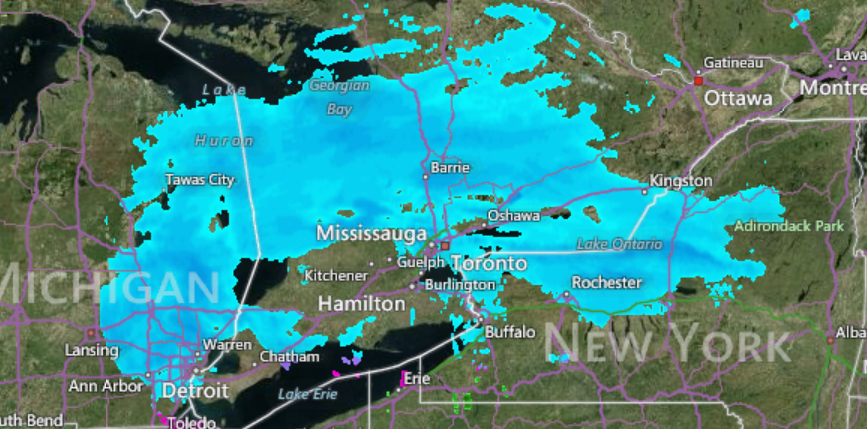
– Photo credit: accuweather.com