

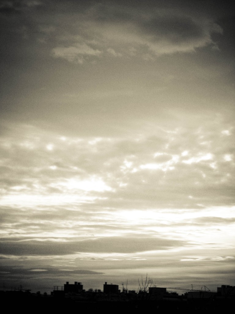
Environment Canada has issued a special weather statement for Chatham-Kent, Sarnia-Lambton and much of southwestern, Ontario. Due to the mild temperatures, records could be broken across the province.
A wind warning remains in effect.
Here is the updated statement at 5:16 p.m. – Rainy, breezy and unseasonably mild this evening, then turning very windy and colder tonight, and continuing windy Christmas Day.
A deepening low pressure area over Lake St. Clair will track north across Lake Huron tonight then across Northeastern Ontario into Western Quebec on Christmas Day.
Unseasonably mild air has moved into the regions early this evening with many areas near the lower lakes seeing temperatures of 10 to 13 c, with readings in the 7 to 10 c range further north. These temperatures are more typical of early to mid April, giving a little taste of spring for santa’s trip on Christmas Eve. A few new daily high temperature records may be set.
Another interesting weather tidbit with this type of low is that an isolated thunderstorm or two is not out of the question, and a Christmas Eve rumble of thunder or two may be in store for a few localities.
Later on tonight, the deepening low will blast a sharp cold front across the regions. The rain, fog and isolated thunderstorms will come to an end just after the front moves through, but very strong and gusty winds will also herald its arrival. Wind warnings have been issued for many locales as wind gusts of 90 to 100 km/h are expected. Santa’s sleigh ride over the regions will be buffeted by these very strong winds tonight.
On Christmas Day, the strong winds will persist, but are expected to gradually abate through the latter part of the day as the weather system moves off to the northeast. Temperatures will be closer to seasonal, with afternoon readings near freezing over northern areas and in the plus 1 to plus 4 range across the rest of Southern and Eastern Ontario. Hence in areas near the lower lakes and the Greater Toronto area chances are quite high that Christmas this year will be green.
Please monitor the latest forecasts and warnings from Environment Canada at www.weatheroffice.gc.ca.
Here is the original statement:
Rainy, breezy and unseasonably mild today, then turning very windy and colder tonight, and continuing windy Christmas Day.
A deepening low pressure area over Western Kentucky will track north to reach Lake Huron this evening, then continue to move across Northeastern Ontario into Western Quebec on Christmas Day.
Southern Ontario will get into the warm air later today, with unseasonably mild temperatures ranging from 7 to 10 c over northern areas to quite a few readings in the 10 to 12 c range elsewhere. In fact, temperatures may visit the mid teens in parts of Niagara later today or tonight. These temperatures are more typical of early to mid April, giving a little taste of spring for santa’s trip on Christmas Eve. A few new daily high temperature records may be set.
Another interesting weather tidbit with this type of low is that an isolated thunderstorm or two is not out of the question, and a Christmas Eve rumble of thunder or two may be in store for a few localities.
Later on tonight, the deepening low will blast a sharp cold front across the regions. The rain, fog and isolated thunderstorms will come to an end just after the front moves through, but very strong and gusty winds will also herald its arrival. Wind warnings have been issued for many locales as wind gusts of 90 to 100 km/h are expected. Santa’s sleigh ride over the regions will be buffeted by these very strong winds tonight.
On Christmas Day, the strong winds will persist, but are expected to gradually abate through the latter part of the day as the weather system moves off to the northeast. Temperatures will be closer to seasonal, with daytime highs forecast to be between about plus one and plus four Celsius. There may be some scattered wet snow or flurries, mainly in regions to the east of Lake Huron and Georgian Bay, but little if any snow accumulation is expected away from these areas. Hence in areas near the lower lakes and the Greater Toronto area chances are quite high that Christmas this year will be green.
Please monitor the latest forecasts and warnings from Environment Canada at www.weatheroffice.gc.ca.