The St. Clair Region Conservation Authority have issued a water conditions bulletin for the Sydenham River, while the Lower Thames Valley Conservation Authority have issued a flood warning.
SCRCA officials said water levels on the Sydenham River and all watercourses across the region are on the rise as a result of above normal temperatures and snow melt.
“With no additional precipitation in the forecast, water levels are expected to be contained within the river banks at upper reaches of the watershed. Temperatures are forecast to remain well above normal reaching daytime highs of 10°C on Monday,” SCRCA officials said.
“The existing snowpack is estimated to be equivalent to near 20 mm of water. Water levels are expected rise throughout the weekend and may exceed the top of bank at a few locations to create localized flooding. Floodplain areas are expected to be inundated for the next few days.”
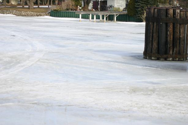
Ice conditions are expected to continue to deteriorate through the week, SCRCA officials said.
“Increased flows and warmer water has reduced ice thickness and ice cover. It is no longer safe to access the river for recreational activities.”
SCRCA officials officials said municipal emergency response staff and road superintendents should monitor local conditions closely.
“Residents are reminded to avoid watercourses and flooded areas due to slippery banks, cold and swift moving water and deteriorating ice. Parents in particular are urged to keep their children away from floodplain areas during this March break.
The SCRCA will monitor the flood condition of the watersheds in the region and will provide warnings to municipal officials and media in the event conditions develop which could result in the potential of flooding.
Meanwhile, the LTVCA issued a flood warning this morning.
“Watercourses in the region have responded rapidly to yesterday`s warm temperatures. Due to the accumulated ice and snow across the watershed, the smaller watercourses are behaving unpredictably. Some of the region`s watercourse have reached bank full conditions or even topped their banks while others still remain low. In some areas, the accumulated ice and snow is making it difficult for water to get off the landscape and localized flooding is occurring,” LTVCA officials said.
“McGregor Creek rose rapidly yesterday evening and the Conservation Authority is now operating the Indian-McGregor Creek Diversion Channel. Meanwhile, in Chatham this morning, Indian Creek was still within its banks.”
LTVCA officials said ice cover on the Thames River has degraded even further.
“Increased flows have caused water levels to rise slightly causing the ice to pull away from the banks. In addition, warm water inputs from local drainage and storm sewers have melted the ice along the banks. It is no longer safe to access the river for recreational activities,” LTVCA officials said.
“The ice sheet on the river remains largely intact but there are stretches that are opening up. We do not expect to see flooding from the Thames River over the next few days but conditions could change rapidly.”
The Lower Thames Valley Conservation Authority will continue to monitor conditions and will issue additional messages as required.