
Environment Canada has issued a special weather statement for Eastern Lambton County.
The first lake effect flurries of the season are expected for late Friday night into Saturday.
A cold air mass will move into Southern Ontario beginning Friday night and lasting through the weekend. For areas to the southeast of Lake Huron and Georgian Bay, rain showers are expected to transition over to flurries late Friday night and continue into Saturday.
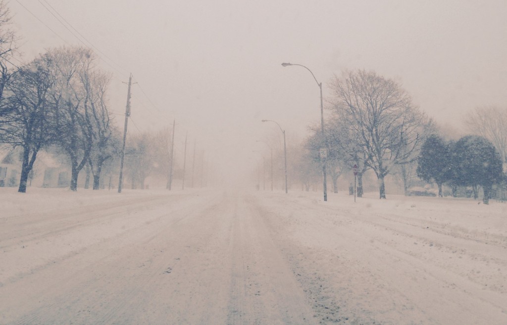
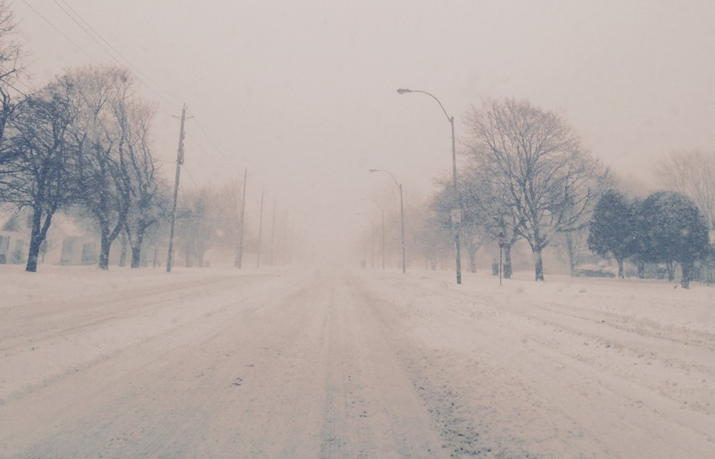
At this point, it appears that some snowfall accumulation is likely. Several centimetres of wet snow are anticipated late Friday night and continuing into Saturday. Exactly how much snow will fall is difficult to determine at this moment as the placement of the heaviest lake effect snow bands is still uncertain. Reduced visibility in bursts of heavier flurries is also possible.
For areas immediately along the lakeshore, accumulations should be less as temperatures there will be a few degrees warmer due to the relatively warmer lakes.
The lake effect flurries should slowly wind down on Sunday.
People who will be travelling in these regions are advised to monitor future forecasts as more information becomes available. Snow squall watches and warnings may be required as the event draws nearer.
Please monitor the latest forecasts and warnings from Environment Canada at www.weather.gc.ca.