A special weather statement remains in effect for Chatham-Kent, and it appears that rain – potentially some freezing rain – is in the forecast.
Environment Canada officials say a strong Colorado low is tracking towards Southwestern Ontario, and is expected to bring a significant rainfall event to the regions Wednesday and Thursday.
This low is forecast to track northeast across the lower Great Lakes into Northern New England by Friday.
Rain will move into the Windsor area shortly after midday then work its way northeast into remaining regions by evening.
Some of the precipitation may fall as freezing rain mainly tonight into Thursday morning, but latest indications suggest most of the precipitation will be in the form of rain, as temperatures manage to stay just above the zero degree mark most of the time.
The Windsor and Chatham areas are expected to remain well above freezing so that only rain is expected.
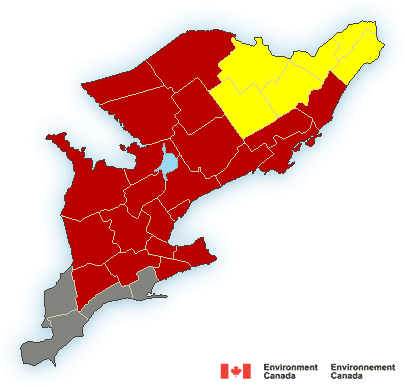
Freezing rain warnings, in effect for regions just to the north and east, may be extended to some of the regions closer to Lake Erie as needed.
Otherwise, the main impacts are expected to be from a significant rainfall of at least 20 to 40 mm, with the odd thunderstorm resulting in locally higher amounts.
Uncertainty remains as far as the exact track of the Colorado low across the region is concerned.
Even a slight northward or southward shift in the track of the low will affect how much freezing rain or rain falls at any particular location.
Environment Canada meteorologists are continuing to closely monitor the evolution and track of this storm.