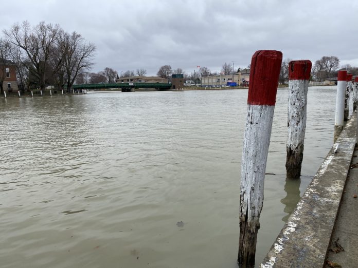
The St. Clair Region Conservation Authority (SCRCA) issued a flood watch on Thursday, March 16, 2023.
SCRCA officials say 10-20 mm of rain is expected between Thursday evening and Friday morning, along with a loss of the snowpack, above freezing temperatures, elevated water levels and minor flooding.
“A Colorado low making its way to Ontario is anticipated to bring 10 mm to 20 mm of rain to our watershed, beginning Thursday evening and continuing into Friday morning,” SCRCA officials say.
“A snow survey conducted earlier this week on March 14 found the remaining snowpack to be heavy, with a snow-water equivalent (SWE) of 60 mm near Warwick and over 30 mm SWE near Strathroy. Locations near Petrolia, Alvinston and Wallaceburg were found to have reduced snowpacks, however forested and shaded locations continue to hold more snow and therefore a higher SWE.”
SCRCA officials added: “Above freezing temperatures and rain are anticipated to expedite snowmelt and elevate water levels with the potential for minor flooding into natural floodplain areas, parks and fields. Soils are likely to become saturated and contribute to ponding, increased runoff into watercourses, and possible increased erosion and seepage issues.”
Individuals are reminded to avoid watercourses and flooded areas due to dangerous conditions, slippery banks and cold, swift moving water, SCRCA officials say.
“Any remaining ice cover on waterbodies will be unstable and should be avoided,” officials say.
“Children and pets should be kept away from the water. The Conservation Authority continues to monitor watershed conditions and will issue advisories to municipalities and media should flood issues arise.”
Municipal emergency response staff and road superintendents should monitor local conditions closely, SCRCA officials added.
The flood watch will remain in effect until Sunday, March 19, 2023 at 12 p.m. unless otherwise updated.


