

The first taste of very warm, mid summer weather today has prompted a special weather statement from Environment Canada.
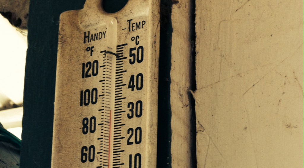
The warmest air so far of this year is being ushered into Southern and Eastern Ontario by southerly winds. Under the strong may sunshine, temperatures this afternoon will reach the upper twenties to low thirties in most areas, making it feel much like mid summer. The first occurrence of 30 c or higher of the year is expected at many locales as a result.
Humidex values will reach the low to mid thirties this afternoon. This is below the threshold required for a heat warning.
Temperatures in areas along the shorelines of the still very chilly Great Lakes will be several degrees lower than the warmth to be experienced inland.
Temperatures tonight will dip to the mid teens across the regions, providing some relief from the very warm daytime conditions.
The very warm conditions will continue through Saturday as afternoon temperatures reach the upper twenties to low thirties. Humidex values in the mid thirties are expected.
Latest indications are suggesting that temperatures will remain considerably higher than average Sunday and into early next week.
Cooler air is forecast to arrive by the middle of the week.