
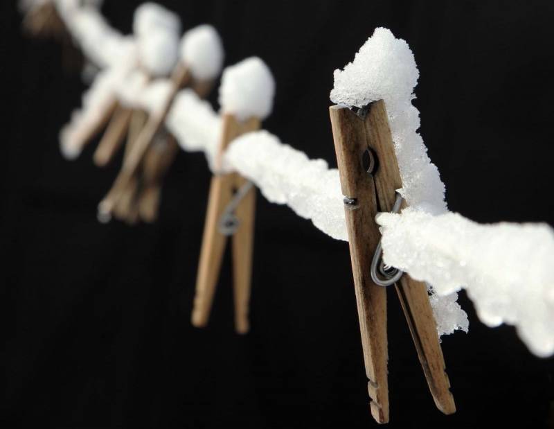
Yet another April snowfall is on tap, as a special weather statement has been issued for Chatham-Kent by Environment Canada.
The latest battle between spring and a very stubborn winter is setting up for today and tonight across Southern Ontario. A large Alberta Clipper approaching the Great Lakes from the northwest will spread a large area of snow into the region, with the snow expected to arrive in Southwestern Ontario this morning or early afternoon.
Snow will reach the Muskoka to Golden Horseshoe areas later this afternoon then spread into remaining regions this evening.
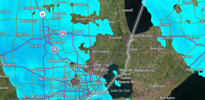
Snowfall amounts will range from near 2 cm over areas near Lakes Erie and Ontario, to 4 to 8 centimetres further north. Up to 10 centimetres of snow is possible in a few locales tonight especially in areas around Georgian Bay and the Dundalk Highlands to the Haliburton Highlands.
As a warm front associated with the clipper moves in, the snow will change over to rain by late afternoon in the Windsor area. The changeover to rain will then work its way northeastward with the warm front tonight across remaining regions of Southern Ontario. There may be a brief period of ice pellets or freezing rain during the transition from snow to rain.
Most areas should receive a total of 5 to 15 mm of rain before the rain ends on Monday.
Driving conditions are expected to deteriorate after the snow arrives. Untreated roads may become snow covered and slippery. Motorists should be prepared for winter driving conditions and adjust travel plans accordingly.
Please continue to monitor alerts and forecasts issued by Environment Canada. To report severe weather, send an email to storm.ontario@ec.gc.ca or tweet reports to #ONStorm.