
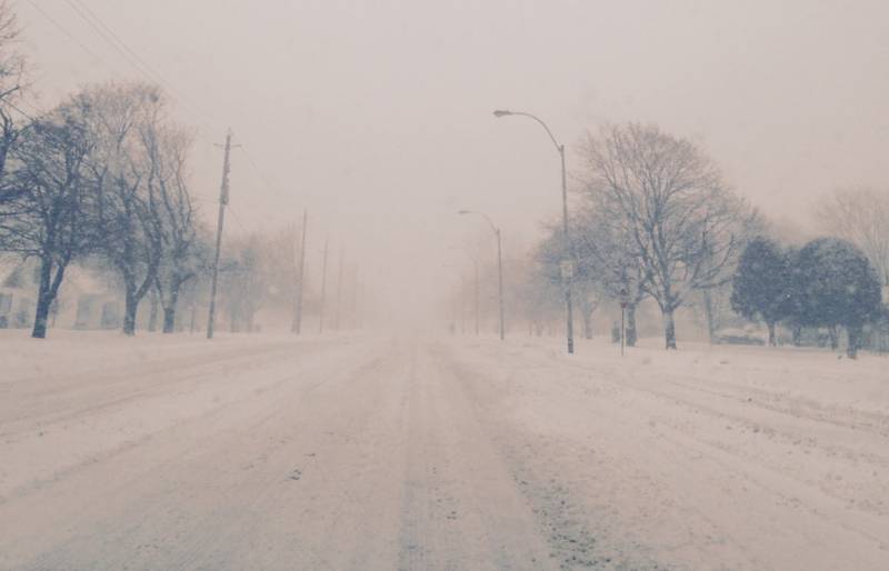
Snow squalls are expected to develop, as a snow squall watch has been put in place in Chatham-Kent.
“Under the snow squall bands, visibilities will be significantly reduced due to the heavy snow combined with blowing snow, and snow will quickly accumulate,” Environmnt Canada officials stated.
“Conditions are expected to become favourable for snow squalls to develop this evening in a stiff and cold northerly flow off of Lake Huron. The snow squalls may extend quite far inland at times tonight, likely crossing Highway 402 and possibly extending across Highway 401 in Chatham-Kent.”
Local snowfall amounts of 15 cm are possible in the strongest snow squalls, along with sudden whiteout conditions in blowing snow and bursts of heavy snow.
Snow squalls cause weather conditions to vary considerably; changes from clear skies to heavy snow within just a few kilometres are common.
Road closures are possible.
Snow squall watches are issued when conditions are favourable for the formation of bands of snow that could produce intense accumulating snow or near zero visibilities.
Please continue to monitor alerts and forecasts issued by Environment Canada. To report severe weather, send an email to ec.cpio-tempetes-ospc-storms.ec@canada.ca or tweet reports using #ONStorm.