
The McKeough Dam is in operation and the St. Clair Region Conservation Authority has issued a flood warning across the region.
SCRCA officials say upwards of 100mm of rain has fallen over the last 48 hours.
“At 8:50 p.m. the criteria for operation of the McKeough Dam was reached and the gates have been closed to reduce any potential flooding in Wallaceburg,” SCRCA officials stated.
“Significant amounts of rainfall have been received over the last two days, ranging from 30-100 mm in areas. A further 5mm of rain and 1cm of snow is anticipated into tonight and early morning. Water levels elevated from rainfall earlier in the week are expected to rise further, with the potential for localized flooding in floodplain areas, parks and farm fields.”
SCRCA officials say soils are expected to be saturated from the rain and could contribute to ponding, increased runoff into watercourses, and possible increased erosion and seepage issues.
“High amounts of rainfall in a short period of time can lead to increased runoff and flash flooding, particularly in urban areas,” SCRCA officials stated.
“Strong winds of 50 to 60 Km/h from a southwesterly becoming westerly direction may impact Lake St. Clair. Residents along this shoreline may experience wind-driven high water levels and wave action, with a potential for erosion. Winds from a westerly direction are also anticipated to cause a backwater effect in the Wallaceburg area, slowing the flow of water out of the Sydenham River and contributing to elevated water levels.”
The following roads will be impacted by high water levels. These roads include:
St. Clair Township:
– Stanley Line east of Kimball Road
– Pretty Road north of McCallum Line
Enniskillen Township:
– Durham Creek Line at Black Ash Line
– Fairweather Road Between Rokeby Line and Shiloh Line
– Fairweather Road between Oil Springs Line and Aberfeldy Line
“River banks are expected to be slippery, with possible minor erosion,” SCRCA officials stated.
“Residents are reminded to avoid watercourses and flooded areas due to slippery banks and cold, swift moving water. Children and pets should be kept away from the water.”
The flood warning will remain in effect until November 2, unless otherwise updated.
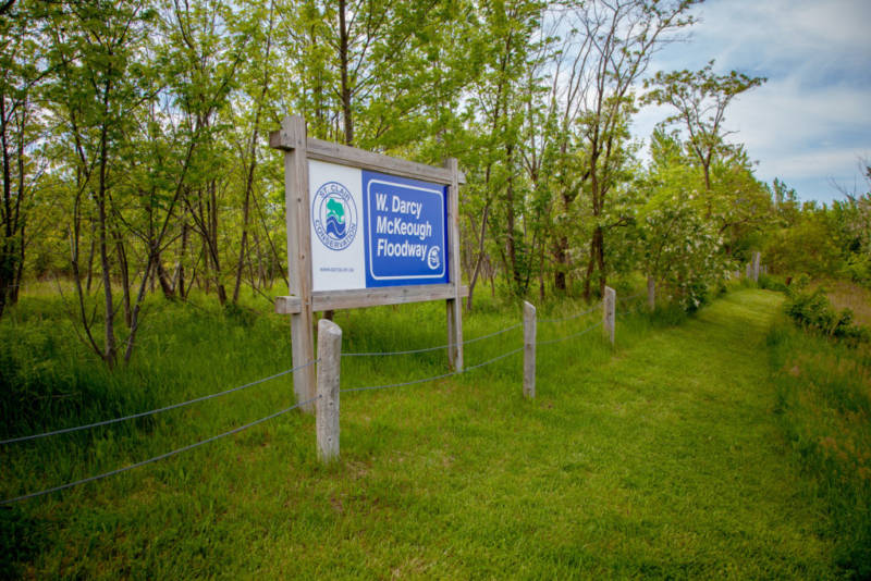
The W. Darcy McKeough Floodway is the largest flood diversion project in Ontario, SCRCA officials stated.
The floodway was completed in 1984 to reduce the threat of flooding in the Town of Wallaceburg.
The floodway is situated approximately twelve kilometres north of Wallaceburg in Sombra Township.
It consists of an earth fill dam embankment and concrete control structure housing two vertical sluice gates.
The grass lined diversion channel stretches seven kilometres west to the St. Clair River. Near the channel outlet, a concrete drop structure reduces the energy of the diverted flood waters before entering the St. Clair River.
The drop structure also separates the St. Clair River from the normally dry channel.
The control gates remain open under normal flow conditions, but when Wallaceburg is threatened by flooding, they are closed and divert the flow down the diversion channel.
The McKeough Floodway is capable of controlling all flood water upstream of the dam by diversion and temporary storage.
The floodway is located such that it controls approximately 37% of the East and North Sydenham River drainage basins upstream of Wallaceburg.