
A flood warning issued by the St. Clair Region Conservation Authority has been downgraded to a water safety bulletin.
Meanwhile, SCRCA officials said on Monday, November 4 that the McKeough Dam has been fully opened and water levels remain high.
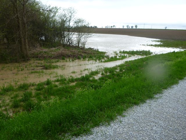
“The St. Clair Region received a significant amount of rainfall in the last week, with upwards of 140 mm in some areas,” SCRCA officials stated.
“This resulted in flooding across the region and the McKeough Dam was operated. With water levels receding over the past few days, the McKeough Dam has been reopened.”
Water levels continue to remain elevated across the region, with some areas still experiencing floodwater in natural floodplain areas, parks and farm fields, SCRCA officials say.
Some roads continue to be impacted by water. These include:
– Stanley Line east of Kimball Road
– Pretty Road north of McCallum Line
– Waterworks Road between Moore Line and Courtright Line
“River banks are expected to be slippery, with possible minor erosion,” SCRCA officials stated.
“Residents are reminded to avoid watercourses and flooded areas due to slippery banks and cold, swift moving water. Children and pets should be kept away from the water.”
The Conservation Authority continues to monitor watershed conditions and will issue advisories to municipalities and media should flood issues arise.
Municipal emergency response staff and road superintendents should monitor local conditions closely.
This message will remain in effect until Wednesday, November 6, 2019 unless otherwise updated.