
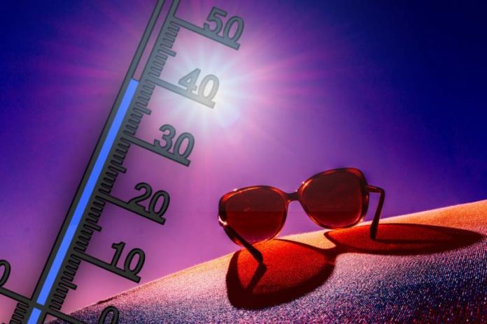

Heat warning
Multi-day heat event expected from today, possibly lasting until Sunday.
Daytime high temperatures of 31 to 33 degrees Celsius with humidex values near 40 are expected for the next five days. Overnight lows near 21 degrees Celsius will provide little relief from the heat.
Slightly cooler temperatures are expected on Sunday.
Hot and humid air can also bring deteriorating air quality and can result in the Air Quality Health Index approaching the high risk category.
Watch for the effects of heat illness: swelling, rash, cramps, fainting, heat exhaustion, heat stroke and the worsening of some health conditions.
Check on older family, friends and neighbours. Make sure they are cool and drinking water
Seek a cool place such as a tree-shaded area, swimming pool, shower or bath, or air-conditioned spot like a public building.
Never leave people or pets inside a parked vehicle.
Ask a health professional how medications or health conditions can affect your risk in the heat.
Watch for the symptoms of heat illness: dizziness/fainting; nausea/vomiting; rapid breathing and heartbeat; extreme thirst; decreased urination with unusually dark urine.
Keep your house cool. Block the sun by closing curtains or blinds.
Outdoor workers should take regularly scheduled breaks in a cool place.
Please continue to monitor alerts and forecasts issued by Environment Canada. To report severe weather, send an email to ONstorm@ec.gc.ca or tweet reports using #ONStorm.
Today – July 19, 2022
Sunny early this morning then a mix of sun and cloud with 40 percent chance of showers this afternoon. Risk of a thunderstorm this afternoon. Wind becoming southwest 30 km/h this morning. High 32. Humidex 41. UV index 10 or very high.
Tonight
Partly cloudy. 40 percent chance of showers early this evening with risk of a thunderstorm. Wind southwest 30 km/h becoming light late this evening. Low 23.
Wed, 20 Jul – A mix of sun and cloud. 70 percent chance of showers late in the afternoon with risk of a thunderstorm. Wind southwest 20 km/h increasing to 40 gusting to 60 in the morning. High 32. Humidex 41. UV index 10 or very high. Night – Cloudy periods with 60 percent chance of showers. Low 22.
Thu, 21 Jul – A mix of sun and cloud. High 33. Night – Cloudy periods. Low 21.
Fri, 22 Jul – A mix of sun and cloud. High 33. Night – Cloudy periods. Low 20.
Sat, 23 Jul – A mix of sun and cloud. High 31. Night – Cloudy periods. Low 21.
Sun, 24 Jul – Cloudy with 60 percent chance of showers. High 29. Night – Cloudy periods with 60 percent chance of showers. Low 21.
Mon, 25 Jul – A mix of sun and cloud with 30 percent chance of showers. High 30.