

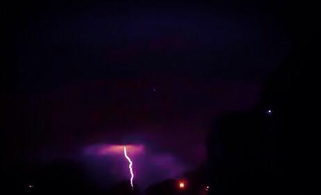
Environment Canada says thunderstorms with very heavy downpours and gusty winds possible Wednesday afternoon and Wednesday night.
An early fall type of low pressure system emerging from the Southern Plains States will track northeast to reach the Great Lakes tonight. This moisture laden low is expected to drag a fairly sharp cold front across Southern Ontario on Wednesday night. While there remains some uncertainty in the track of the low and the time the cold front will move across the regions, latest indications suggest that thunderstorms giving heavy downpours and gusty winds are quite possible later Wednesday and Wednesday night.
Local rainfall amounts of near 40 mm are possible across the regions later Wednesday and Wednesday night.
The cold front will sweep out the moisture laden airmass by Thursday morning. Considerably cooler air will arrive in the wake of the cold front, resulting in a good taste of fall later this week.
The public is advised to monitor future forecasts and warnings as warnings may be required or extended.
Please monitor the latest forecasts and warnings from Environment Canada at www.weatheroffice.gc.ca.