
The Lower Thames Valley Conservation Authority has issued a flood watch for the shores of Lake Erie.
LTVCA officials say Environment Canada’s Marine Forecast has issued a Strong Wind Warning for western Lake Erie due to predicted high winds tomorrow morning through tomorrow evening.
“During this period, sustained winds over 35 km/h from the south or southwest are expected, peaking in the late afternoon between 40 and 50 km/h,” stated Jason Wintermute, water management supervisor, in a press release.
“Wind gusts are predicted to reach 65 km/h. The Marine Forecast is predicting wave heights to build to 2 m by tomorrow evening.”
Wintermute said south and southwesterly winds will be driving waves onto our Lake Erie shoreline in Chatham-Kent and Elgin County.
“There is a risk that wave action could damage shoreline protection works and cause shoreline erosion,” he said.
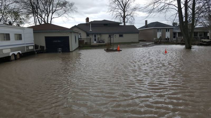
“Vulnerable areas could see localized flooding due to waves crashing against shoreline protection works spraying water up onto the land. The predicted wind speeds and wave heights are similar to those that caused flooding earlier this year along Erie Shore Drive in Chatham-Kent. Residents along the Lake Erie shoreline should be prepared.”
People should take extra caution and avoid the shoreline, he added.
“The waves can be strong and the shoreline slippery,” WIntermute said.
“There could also be hazardous debris within the waves and water. Standing water can also present its own unseen hazards. Children, pets and livestock should be kept away from the water.”
LTVCA officials say long range forecasts are calling for similar conditions to appear late Friday and Saturday, and next Monday.
LTVCA officials say they will continue to monitor the situation and update the advisory if necessary.
Their message will be in effect until November 16.
– Photo credit: LTVCA